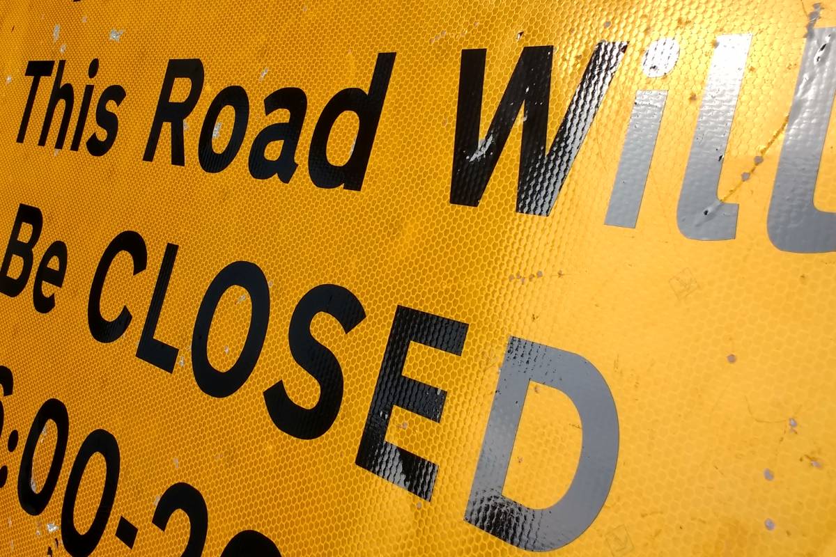
Durham Lumiere 2019 road closures will affect cars and pedestrians with streets and footpaths shut during the event. Here are the locations affected.
Durham Lumiere 2019 hits our city from Thursday to Sunday November 14-17 (take a sneak peek at our Lumiere 2019 pictures or our Lumiere Durham 2019 video), and with tens of thousands of visitors expected during the tenth anniversary event, there'll be roads closed around the peninsula and city centre.
Where are the Durham Lumiere 2019 road closures?
There several main categories of roads and footpaths which will be closed to cars and pedestrians during Lumiere.
Read next: Want tickets for Durham Lumiere? One venue still has some
On the Durham peninsula itself, vehicle entry will be prevented from 1pm, with all closures then in place from 2pm on the event day until 2am the following morning. Vehicles will be able to leave the peninsula up to 2pm.
For pedestrians, it's the usual ticketed restrictions which will apply from 4.30pm until 7.30pm on Silver Street, Market Place, Saddler Street, Elvet Bridge, North Bailey, South Bailey, Owengate, Bow Lane, Dun Cow Lane, Framwellgate Bridge, Saddler Lane and Prebends Bridge.
You can read more about the ticketed restrictions in our Durham Lumiere tickets story and our rundown of every single Lumiere installation. We've also got timetables for the extra Lumiere buses, tips and ideas to make the most of your Lumiere visit, and even a weather forecast!
Read next: Durham Lumiere extends its park and ride offering
Are there any Lumiere road closures outside the peninsula?
Yes, there will be. The roads below will be closed to all vehicles from 2pm on the event day until 2am the following morning. No parking will be permitted during the closure period either.
The roads affected will be:
Claypath between its junctions with Providence Row and Prince Bishop car park roundabout including the one-way eastbound slip road from the A690
Walkergate from its junction with the A690
Back Silver Street
Freemans Place from its junction with Walkergate to Freemans Quay (access to Walkergate car park will be available via Providence Row)
North Road from its junction with the A690 to Crossgate with the exception of buses exiting the bus station
Milburngate between North Road and the A690 junction with the exception of vehicles accessing River Walk car park
Framwellgate Waterside from River Walk car park access to the junction of Frankland Lane
South Street from its junction with Grove Street (except for resident access) 2pm - 2am
Old Elvet between its junction with Territorial Lane and Court Lane
Sutton Street between North Road and A690 (except for resident access)
Access to Howlands Park and Ride from South Road with an alternative access being provided.
Read next: Family events across County Durham
How about Durham Lumiere parking restrictions?
Parking is not permitted on any of the roads. Parking on the Northbound section of New Elvet will also be suspended together with parking on Old Elvet from New Elvet to Court Lane.
Organisers say that any vehicle parking on a closed road, a suspended parking bay or not in accordance with existing parking and clearway restrictions is likely to be removed.
Read next: Durham Lumiere park and ride bus times, stop locations and ticket prices
What are the speed limits for Durham Lumiere?
A temporary 40mph speed restriction will be in place from 7am to the following 2am on the A167 dual carriageway from the junction with the A177 at the Cock of the North roundabout northwards to the existing 40mph signs at Merryoaks, Nevilles Cross.
Read next: Tickets for this panto are on sale now
Durham Lumiere footpath closures
The footpaths below with be closed with the exception of permit holders and those exiting the Durham peninsula from 4pm until 11pm:
All footpaths to the western side of Durham Cathedral between Prebends Bridge and the steps at the Riverview Kitchen near Framwellgate
Kingsgate Footbridge
Footpaths between Back Silver Street, Fowlers Yard and Silver Street
Elvet Bridge steps to the riverside
Drury Lane
The riverside path from Drury Lane to Elvet Bridge
Windy Gap
Access to the rear of Hatfield College
The footpath between Walkergate and Durham Market Place to the rear of St Nicholas Church
The steps from under the Kingsgate Bridge to Bow Lane
The road to the south of Elvet Bridge connecting the bridge to Elvet Waterside
From the Little Count's House to Elvet Bridge
Read next: Durham Christmas Festival returns this month
